CEU Department of Environmental Sciences and Policy and Systems Laboratory
cordially invite you to the next talk in
CEU Open Lecture Series on Disaster Management by
LORANT CZARAN
Programme Officer, UNOOSA
Satellite Data Access, Coordination and Mapping Mechanisms for Disaster Management
March 21, 2018 / 13:30 / NADOR UTCA 15, ROOM 103
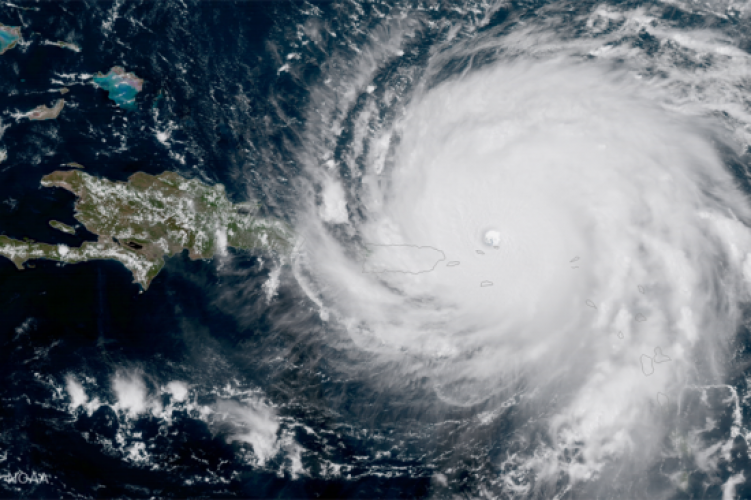
The talk will review the various emergency response and risk mapping mechanisms, their functioning and conditions for providing support with satellite imagery, derived geospatial data and map products for the different phases of the disaster management cycle. The various data provision mechanisms (International Charter Space and Major Disasters, Copernicus Emergency Management Service, Sentinel Asia, more recent private sector voluntary efforts), emergency mapping services (HOT_OSM, SERTIT, ZKI, UNOSAT, MapAction etc.), coordination efforts of various working groups (such as IWG-SEM, the CEOS WG Disasters or the GGIM WG Disasters) will be introduced and reviewed. Questions and answers will help clarify the opportunities and limitations of these existing mechanisms, and also address any gaps the audience might identify.
Lorant Czaran is a Programme Officer in the Space Applications Section of the United Nations Office for Outer Space Affairs since 2012, supporting both the Programme on Space Applications and UN-SPIDER, and is recognized across the community for his commitment towards innovative geospatial solutions in support of the UN system work. Since 1996 Mr. Czaran has worked at UNEP/GRID-Arendal in Norway, at the UN Headquarters (Cartographic Section) on UNGIWG coordination and Security Council affairs, and later at the Department for Peacekeeping Operations where he helped produce the first in-house digital satellite imagery-based topographic maps at large scale (for the UN Disengagement Observer Force in the Golan Heights, Syria) He also worked on international boundary demarcation mapping projects (such as Cameroon-Nigeria or Eritrea-Ethiopia). Before joining UNOOSA in 2008 (first as Head of the UN-SPIDER Bonn Office until 2011), Mr. Czaran also served as the Map Centre Manager for ReliefWeb/UNOCHA. Mr. Czaran is an acting representative of the United Nations in specialized international bodies such as the Committee on Earth Observation Satellites (CEOS), ISO/TC211 and the Open Geospatial Consortium (OGC).
All students, faculty and staff members are welcome to attend!