Last Friday, the GeoHub project organized at CEU Vienna Campus two capacity-building workshops for OSUN students.
The first event focused on exploring the potential of ArcGIS StoryMaps and learning the basics of this platform. The workshop was tailored to those interested to know more about this powerful tool for creating interactive presentations and telling your stories, through maps, but not only. The hybrid event was joined by students and faculty of the Network Collaborative Course “Introduction to Geospatial Data Visualization”.
ArcGIS Story Maps provides a great platform to combine maps with narrative text, images, and multimedia to create compelling, user-friendly web apps. A story can effect change, influence opinion, and create awareness — and ArcGIS StoryMaps can give your narrative a stronger sense of place, illustrate spatial relationships, and add visual appeal and credibility to your ideas. It allows to easily create custom maps to enhance your digital storytelling, but also simply combine text, photos, and videos to create an interactive narrative that's easy to publish and share. Some useful resources and examples which were introduced during the workshop can be accessed here.
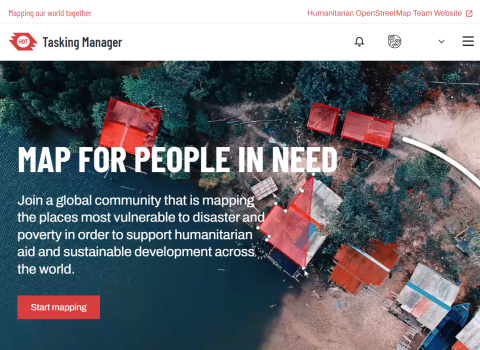
The second workshop of the day focused on introducing the Humanitarian OpenStreetMap Team (HOT) and their Missing Maps project – an initiative that brings together volunteer mappers that join their efforts to help map areas where humanitarian organizations are trying to meet the needs of people who live at risk of disasters and crises.
Missing Maps mapathons (coordinated mapping events) encourage the public to make online map improvements in their local or international area to improve coverage and support disaster risk assessment and management. Such mapathons are not only a crucial tool for emergency response but can also act as a starting point for learning the foundation of GIS mapping techniques.

After the introductory presentation of the Missing Maps project, students learned the basics of working in the OpenStreetMap (OSM) platform and mapping buildings. Then participants moved to the HOT Tasking Manager platform, dedicated to organizing crowdmapping projects and distributing tasks among individual mappers. Participants learned how and when to use basic mapping tools while exploring and tracing the satellite imagery, available on the HOT platform. After getting the initial idea of online mapping and practicing as a group on tracing the buildings, participants had a chance to move on to selecting individual mapping tasks and continue the work on their own.
In conclusion, the recent mapping workshops at CEU Vienna Campus provided an excellent opportunity for OSUN students to enhance their geospatial skills and contribute to meaningful projects. Whether through the creative storytelling capabilities of ArcGIS StoryMaps or the humanitarian efforts of the Missing Maps project, participants were empowered to make a positive impact on the world. These workshops not only expanded their knowledge but also instilled a sense of purpose in using geospatial data for storytelling and humanitarian causes. We look forward to more such collaborative learning opportunities in the future, as we continue to harness the power of maps to change lives and create a better, more informed world.