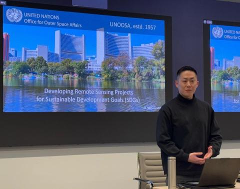
On February 21, CEU hosted an insightful lecture by Jumpei Takami, Associate Expert in Remote Sensing for Disaster Management at UN-SPIDER, United Nations Office for Outer Space Affairs (UNOOSA). The event, titled “Developing Remote Sensing Projects for Sustainable Development Goals (SDGs),” was part of the OSUN Online Course "Earth Observations in Monitoring Sustainable Development Goals" and explored how cutting-edge satellite technology is being used to address global challenges and advance the United Nations’ Sustainable Development Goals (SDGs).
Takami, with over a decade of experience in civil engineering and remote sensing, shared his expertise on leveraging satellite data for disaster management, environmental monitoring, and sustainable development. He emphasized the transformative potential of remote sensing in tackling pressing issues such as climate change, poverty, and food security.
Takami began by explaining the basics of remote sensing, a technology that collects information about the Earth’s surface without physical contact. The lecture also delved into the different types of satellite data, including optical imagery and Synthetic Aperture Radar (SAR). Takami outlined how remote sensing contributes to the 17 SDGs, particularly in areas like environmental conservation, disaster preparedness, and economic growth.
He also discussed the challenges of monitoring water-related SDGs, such as oceans and groundwater, due to limitations in satellite penetration. However, emerging technologies like underwater drones and gravity-measuring satellites (e.g., GRACE) are paving the way for innovative solutions. Takami also shared examples of how remote sensing is used in agriculture, such as monitoring crop health and drought conditions using indices like NDVI (Normalized Difference Vegetation Index) and NDWI (Normalized Difference Water Index).
The lecture underscored the vital role of remote sensing in achieving the SDGs. By providing accurate, real-time data, satellite technology enables informed decision-making and drives progress in environmental conservation, disaster management, and economic development.