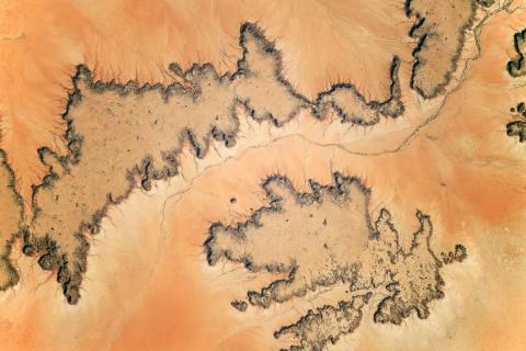
GeoHub was glad to host an introductory session on the application of satellite imagery and remote sensing techniques for environmental monitoring for students of the “Geospatial Technologies for Environmental Professionals” course.
GeoHub invited Gulnaz Iskakova, national project coordinator at FAO, to present some examples of the application of satellite imagery for agricultural and resource assessments, Carolina Starr, agricultural officer at FAO, to discuss activities of her team that involves GIS applications, and Elizaveta Khazieva, GIS expert and PhD researcher at Vrije Universiteit Amsterdam, to introduce basics of the Google Earth Engine.
Earth Observation data can provide an unbiased, uninterrupted, and borderless view of human activities and natural processes. The first part of the session presented some theory and examples of remotely sensed data being used in various projects, and was followed by a more practical introduction to one of the potential tools, which can be applied to analyze such data - Google Earth Engine, and specifically, GEE Explorer. GEE Explorer is a simplified web interface to the Earth Engine which does not require any coding skills and allows anyone to visualize the data in the public data catalog, import their own data, run simple analyses, save, and export the results.