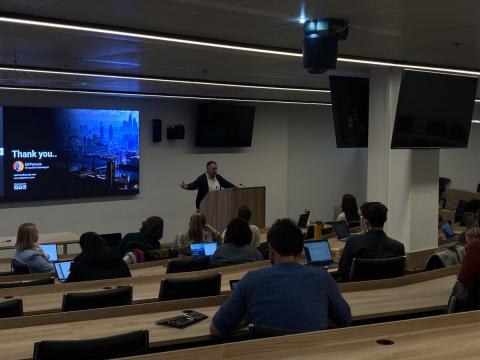
On Friday, Central European University was happy to welcome Ed Parsons, Google's Geospatial Technologist, to deliver a talk at our Vienna campus.
The focus of this talk was on the ways in which Google is using Artificial Intelligence (AI) to improve its geospatial services. This presentation brought together not only CEU students but also participants from our OSUN partner institutions, who were able to join remotely. The session generated interesting discussions on the use of geospatial information and technologies in the everyday life and made students aware of some recent developments in the field.
Ed Parsons emphasized how most, if not all, of Google’s services have geospatial components. Although Google Maps is perhaps the most obvious example, all applications collect users' locational information. This data allows such applications to "self-heal" and to continuously develop. Particular areas that Ed Parsons highlighted as improving include pedestrian and cycling directions, the ability to tailor driving directions to the vehicle’s fuel source, as well as the ability for a mobile phone to more quickly orient itself using visual positioning. The presentation was followed by a Q&A session and reception, during which the discussion continued.
For more information about Google’s Geospatial Initiatives, visit: https://cloud.google.com/solutions/geospatial
Also, check out this article about Google using geospatial AI to prepare for climate resilience: https://cloud.google.com/blog/topics/public-sector/leveraging-google-geospatial-ai-prepare-climate-resilience