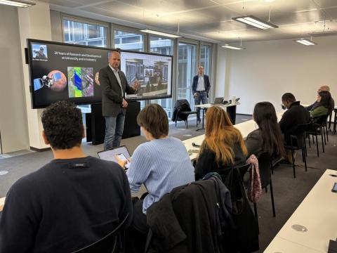
On December 6, the OSUN GeoHub project hosted an engaging lecture featuring Dr. Peter Dorninger from 4D-IT GmbH, who shared insights from his 20 years of experience in geospatial research and development. During the event, the participants learned about the evolution of 3D surveying technologies, LiDAR applications, and the groundbreaking contributions of small research-driven enterprises in advancing geospatial sciences.
Dr. Dorninger, who received his Ph.D. at TU Vienna and later founded 4D-IT GmbH, talked about his journey from academia to entrepreneurship. He began by discussing his early work on the Mars Express mission, where he contributed to geomorphological analyses of Martian landscapes. Dr. Dorninger also highlighted his focus on 3D point cloud processing, sensor calibration, and the development of innovative methods for topographic mapping and risk assessment. Key projects discussed included creating a high-resolution 3D model of St. Stephen’s Cathedral in Vienna during the COVID-19 lockdowns, demonstrating the power of drones and laser scanning for architectural heritage conservation. This effort and collaboration with the University of Valencia demonstrate how advanced technologies can support the preservation of historic buildings, analyze structural integrity, and track changes over time. Dr. Dorninger also addressed the role of small companies in advancing national and international research projects. His company, 4D-IT GmbH, has partnered on numerous initiatives, including UAV-based forest monitoring, industrial surveying, and vegetation mapping.
The lecture concluded with a discussion on future opportunities for collaboration, particularly in areas like image-based 3D modeling, urban planning, and environmental monitoring.