Registration for the Geospatial Data Visualization course as university-wide course starts on September 13th!
Following the great success of last year, the Environmental Systems Laboratory once again offers its Geospatial Data Visualization course as university-wide course, open to CEU, OSUN and CIVICA students. Places are limited and registration is open between September 13th – September 27th!
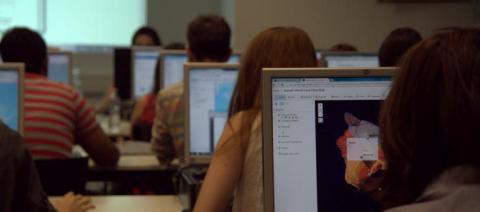
Starting from the Fall Semester 2021, the course will once again be held fully online, designed to include mostly asynchronous pre-recorded sessions, combined with a few live seminars and individual consultations. Structurally, the course is divided into two subsequent parts – IGDV-I (introductory level): pass/fail course and IGDV-II (advanced): for grade course.
The first level is suited for people with no previous knowledge and skills in geospatial technologies and will introduce some basic concepts of mapping; present several online mapping tools (such as Google Earth Pro, Sentinel Hub and qGIS); suggest data availability and access ideas.
The second level will build on that, providing some practical exercises for data manipulation and processing with the open source qGIS software and helping the students visualize data of own research interest and experience.
The IGDV course (both I and II) is a part of the series of University-wide Courses (UWC) at CEU, which aims to bring together faculty and students from various academic programs to explore a topic of common interest.
Register and get an idea of the endless possibilities geospatial technologies offer for illustrating your own research!
Read more about the course last year here.