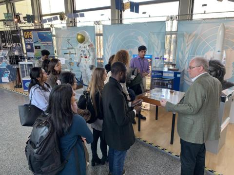
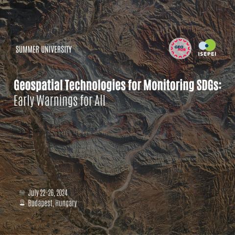
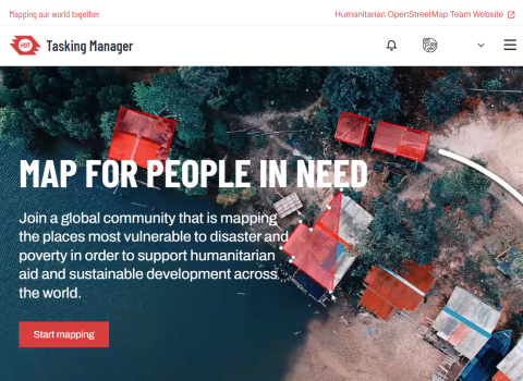
Calling all environmental and public policy professionals eager to expand their expertise, find inspiration, and exchange ideas! Are you a student or researcher eager to explore the practical applications of geospatial technologies? Don't miss out on the chance to apply to ISEPEI's summer university.